Advanced care paramedic Cindy Natvik keys in an address on a computer inside the cab of an ambulance at the Middlesex-London EMS headquarters on Waterloo St. on Wednesday. The medical emergency responders use the mapping software to help locate their calls accurately. London’s fire department still relies on central wall maps at its stations to determine the location of emergencies. (CRAIG GLOVER, The London Free Press)
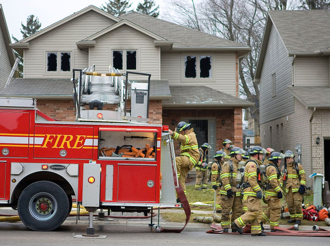
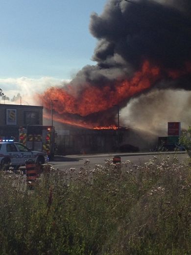
They’re often the first of the first responders and they should be — a fire doubles every 30 seconds — but firefighters are the only emergency workers in London without road map software in their vehicles.
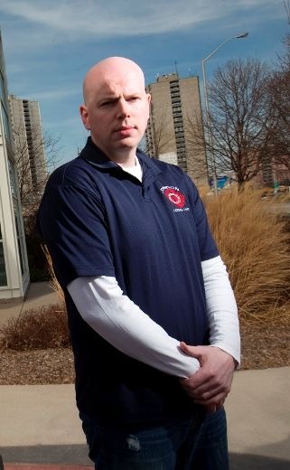
“We would love GPS on the trucks, it would quicken the response time . . . could save us 15 or 20 seconds,” said Sean Beer of the London Professional Firefighters Association. “That counts when you’re talking about an emergency situation.”
Police and paramedics agree. Police have had mapping software in cruisers for at least a decade and Middlesex-London EMS ambulances have been equipped with a system since 2005. Both use GPS — or Global Positioning System satellite software — as well as a way for dispatchers to keep track of vehicles.
As for firefighters, when a call comes in they grab portable map books, race to a central wall map in the station, check for the location and get there as fast as they can. Usually they’re on the road, lights and sirens screaming, within 90 seconds.
“We’d love it because you don’t have to grab the map, check the wall map . . . most emergency vehicles are equipped with GPS that automatically plans the best route,” Beer said.
Fire Chief John Kobarda says it’s coming. Possibly this year if there’s money in the budget. The software he’s looking at is expected to cost about $200,000, he said, but he’s waiting until the department finishes replacing its entire fleet of 21 vehicles — a task that’s been ongoing for five years. There’s one truck still being built, Kobarda said.
“We are growing into it right now,” he said. “It will speed up our response time out of the fire hall.”
He said the GPS system installation is part of a larger $1 million “mobility project,” that also includes an automatic vehicle locater dispatchers can use to see where trucks and engines are across the city.
That will be more important in the near future, because the service is starting to get more firefighters out of the halls and into classrooms and community centres, talking about prevention and education. Dispatchers will be able to see who is closest to the emergency through the software. Good GPS systems can also be updated with street closings and help reroute drivers who are about to hit a closure, Kobarda said.
Police say their mapping software indicates where their cruiser is and the destination.
“It’s beneficial. We rely heavily on computers,” said Const. Ken Steeves, adding he bought a laminated map when he started as an officer, just in case.


